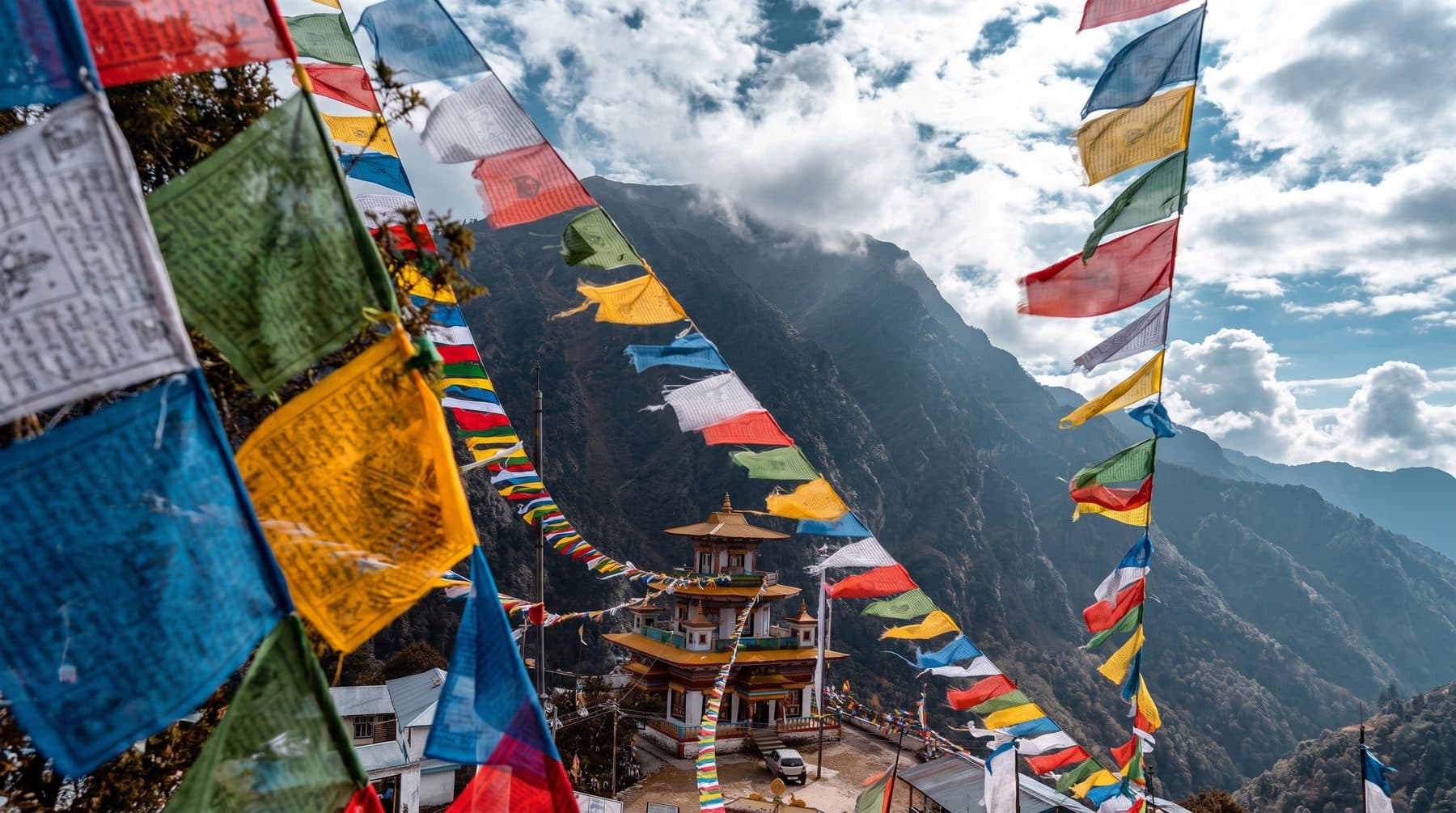
Manaslu Trek
- Larkya La, 5,106 m
- 16 days, Kathmandu to Kathmandu
- Restricted area — two trekkers minimum
- A fraction of the Annapurna traffic
- Gorkha, Nepal
- Teahouse lodges throughout
- 16-day itinerary
About this tour
The Manaslu Circuit is what the Annapurna Circuit was thirty years ago, and the comparison is the reason to walk it now. It goes round Manaslu, the eighth-highest mountain on earth at 8,163 metres, up the Budhi Gandaki gorge from rice terraces at 700 metres to a pass at 5,106, and it crosses from Hindu foothill Nepal into villages that are Tibetan in language, architecture and religion within about four days' walking.
It is quieter than the Annapurna and Everest routes by an order of magnitude, and it is quieter for a reason worth understanding before you book: it is a restricted area. You cannot walk it alone, you cannot walk it as one person, and you cannot get the permit yourself. Nepal requires a minimum of two trekkers, a government-licensed guide and an agency to apply on your behalf. That rule is the whole reason the trail has stayed as it is, and it is why we are writing about it in the second paragraph rather than the small print.
The walking divides in three. The first four days climb a gorge — a genuine gorge, with the trail cut into the rock above the Budhi Gandaki and suspension bridges over the river, through subtropical farmland that gives way to pine. The middle section opens out at Namrung and becomes Tibetan: flat-roofed stone houses, mani walls, chortens, barley. Samagaon at 3,530 metres sits under Manaslu's north face with a glacial lake and a monastery above it, and you stop there for a day because you need to.
The third part is the pass. Larkya La at 5,106 metres is crossed in a single eight-to-ten hour day from a stone shelter at Dharmasala, and it is the longest and coldest day of the trek. The descent from the top into Bimtang is one of the great walks in Nepal — you come off the pass and the entire Annapurna range is in front of you.
Then the trail drops into the Marsyangdi and joins the old Annapurna Circuit at Dharapani, which is where most people notice how quiet the last two weeks were.
Trip highlights
The Larkya La at 5,106 m
A long cold crossing from Dharmasala, eight to ten hours, and then the descent — off the pass with Himlung, Cheo and Kang Guru around you and the whole Annapurna range opening up in front. It is the best single day's walking on the trek and arguably in Nepal.
The Budhi Gandaki gorge
Four days climbing a genuine gorge with the trail blasted into the rock wall and suspension bridges strung across it, from rice terraces at 700 metres up into pine forest. Nothing on the Annapurna or Everest trails is built like this.
Crossing into Tibetan Nepal on foot
Somewhere above Namrung the houses change from timber to flat-roofed stone, the writing changes script, and the religion changes. You walk from Hindu foothill Nepal into a Tibetan Buddhist valley over about two days, which is a thing you can feel happening.
Samagaon, under Manaslu's north face
3,530 metres, a working village of stone and barley with Birendra Lake and Pungyen Gompa above it and 8,163 metres of mountain behind. The acclimatisation day here is spent walking up to one or the other, and it is the day most people remember the village rather than the peaks.
Quiet, and legally protected as such
The restricted-area rules — two trekkers minimum, licensed guide, agency permit — are the reason this trail has a fraction of the Annapurna Circuit's traffic. It is the rare case where paperwork is the thing preserving the experience.
Route
- 1 Start
- 2 Stop in order
- 11 Finish
- Route travelled
Loading map…
At a glance
- Larkya La, 5,106 mCrossed in one eight-to-ten hour day, with the Annapurnas on the far side.
- 16 days, Kathmandu to KathmanduThirteen on the trail, with an acclimatisation day at Samagaon.
- Restricted area — two trekkers minimumA licensed guide and an agency permit are required by law, not by us.
- A fraction of the Annapurna trafficThe permit rules are why, and they are the reason it has stayed this way.
- Gorkha, NepalMachha Khola, Jagat, Namrung, Samagaon, Samdo and Bimtang.
- Teahouse lodges throughoutSimpler than Annapurna's, and a stone shelter the night before the pass.
Day by day
Day 1Arrive Kathmandu, 1,300 m
Met at the airport and driven to the hotel. Permits for a restricted area are applied for in person with your passport and photographs, so this day exists partly for paperwork. Kit check with the guide in the afternoon.
Day 2Kathmandu to Soti Khola, 700 m
Seven to eight hours by road west and then north into Gorkha — tarmac as far as Arughat and rough track after it. It is a long day in a vehicle and the last one for two weeks. The gorge starts at the far end of it.
Day 3Soti Khola to Machha Khola, 930 m
Six hours, and the walk begins the way the trek means to go on: in and out of the Budhi Gandaki gorge on a trail cut into the rock, through rice terraces, bamboo and waterfalls, crossing the river on suspension bridges. Subtropical and warm.
Day 4Machha Khola to Jagat, 1,410 m
Seven hours up the gorge past the hot springs at Tatopani and the police checkpost at Jagat, where the restricted-area permits are checked for the first time. The valley narrows all day and the forest changes from bamboo to pine.
Day 5Jagat to Deng, 1,800 m
Six to seven hours. The gorge deepens and the trail climbs higher above the river, with several long suspension bridges. Deng is the first village that feels like the mountains rather than the foothills, and the first mani walls appear on the way into it.
Day 6Deng to Namrung, 2,660 m
Six to seven hours and the day the country changes. Past Bihi Phedi and Ghap, through pine and rhododendron, and into Namrung, where the houses are flat-roofed stone and the writing on the chortens is Tibetan. Ganesh Himal and Himal Chuli come into view.
Day 7Namrung to Samagaon, 3,530 m
Six hours through Lho and Shyala, both Tibetan villages with gompas worth stopping at, and the first full sight of Manaslu's north face — 8,163 metres, straight ahead, for most of the afternoon. Samagaon is the largest village on the route and the best.
Day 8Samagaon — acclimatisation
A day here is not optional at 3,530 metres with a 5,106 metre pass four days out. Two good walks to choose from: up to Birendra Lake and on towards Manaslu Base Camp at about 4,400 metres, or up to Pungyen Gompa on the shoulder opposite. Either climbs several hundred metres and comes back down to sleep.
Day 9Samagaon to Samdo, 3,875 m
A short three to four hours up the valley, past the turning for the Tibetan border trade route, to the last permanent village on the trek. Samdo is a Tibetan settlement of about forty houses and the afternoon is free to walk up the ridge behind it, which is the best acclimatisation available.
Day 10Samdo to Dharmasala, 4,460 m
Three hours only, and deliberately so. Dharmasala — Larkya Phedi — is a stone shelter rather than a village, cold, basic and often full. Arriving early means resting before the longest day of the trek and eating at a sensible hour. Sleep in everything you have.
Day 11Larkya La, 5,106 m, and down to Bimtang, 3,720 m
The big day: eight to ten hours, away by four in the morning. A long steady climb on moraine in the dark and cold to the prayer flags at the top, with Himlung, Cheo and Kang Guru around you. Then the descent, which is the part nobody expects — steep and loose at first, then a long walk down a glacial valley with the Annapurnas filling the horizon ahead. Bimtang is a meadow with lodges and a view back at the pass you crossed.
Day 12Bimtang — a day in hand
Held in reserve for the pass, because Larkya La closes in snow and a group that has to wait a day should not be a group in trouble. If the crossing went to plan, it is a short walk up to Ponkar Tal at about 4,100 metres under Manaslu's west side, or a genuine rest.
Day 13Bimtang to Tilije, 2,300 m
Six hours down through rhododendron and pine, losing 1,400 metres and crossing back into farmland and irrigation. Warm air for the first time in a week, and the vegetation returns in stages as you drop.
Day 14Tilije to Dharapani, and drive to Besisahar
Two hours down to Dharapani, where the trail joins the old Annapurna Circuit and the traffic reappears. Then three to four hours by jeep down the Marsyangdi to Besisahar on a road that is an experience in itself.
Day 15Besisahar to Kathmandu
Six hours by road back to the city, with the afternoon free. Dinner with the crew, which after sixteen days on a restricted-area trail is not a formality.
Day 16Depart Kathmandu
Transfer to the airport for your onward flight, or a spare day for Bhaktapur or Patan if you kept one.
What’s included
- The Manaslu Restricted Area Permit, the Manaslu Conservation Area Permit and the Annapurna Conservation Area Permit for the exit
- A government-licensed English-speaking guide for the whole trek, as the restricted area requires
- Two nights in Kathmandu and thirteen in lodges and guest houses on the trail, twin share
- All meals on trek — breakfast, lunch and dinner from Soti Khola to Dharapani
- Porters, one between two trekkers, with a capped load and rescue insurance
- Private transport Kathmandu to Soti Khola and Dharapani to Kathmandu
- All airport transfers, and staff wages, insurance and equipment
- CONFIRM — whether a sleeping bag and down jacket are loaned for the pass or brought by the client
Not included
- International flights to and from Kathmandu
- Nepal visa, issued on arrival
- Travel insurance — which must cover trekking to 5,500 m and helicopter evacuation
- Meals in Kathmandu other than breakfast
- Drinks, hot showers, wifi, battery charging and laundry on the trail
- Tips for the guide and porters
- Costs arising from an early descent, a rescue, or a pass closed by snow
Good to know
It is a restricted area, and that changes what you can book
Manaslu is a controlled trekking region, and the rules are not ours. Nepal requires a minimum of two trekkers on one permit, a government-licensed guide, and the permit to be applied for by a registered agency — you cannot obtain it yourself, and a solo permit does not exist. If you are travelling alone we can pair you with another walker on the same dates, and if we cannot, we will tell you rather than take a deposit and hope.
Three permits are needed: the Manaslu Restricted Area Permit, the Manaslu Conservation Area Permit, and the Annapurna Conservation Area Permit, because the trek exits through the Annapurna region at Dharapani. All three are included. We need your passport scan and photographs in advance, and the permits are issued in Kathmandu with you present, which is why day one exists.
The Restricted Area Permit is also priced by season and by the number of days, and it is the reason this trek costs more than an Annapurna teahouse trek of the same length.
The pass is the trek, and it can close
Larkya La at 5,106 metres is crossed in a single eight-to-ten hour day starting at four in the morning from a stone shelter at 4,460 metres. It is the longest, coldest and highest day, and it comes after ten days of walking.
It also closes. Fresh snow can shut the pass for a day or more, and there is no way round it — the alternative is walking back down the Budhi Gandaki, which is a week. We carry a day in hand at Bimtang for exactly this and we would rather use it than push a group over in bad conditions. Build one spare day into your international ticket as well.
Dharmasala is not a village
The night before the pass is spent in a stone shelter with basic dormitory rooms and very little of anything. In peak season it fills, and people sleep on the dining room floor. It is cold — 4,460 metres, no insulation, no heating beyond the kitchen. This is the one night of the trek that is genuinely uncomfortable, and knowing it in advance is most of the cure. Bring a sleeping bag rated to about minus fifteen.
Teahouses, and how they compare
Simpler than Annapurna's and much simpler than the Khumbu's. Twin rooms with plywood walls, shared toilets, a stove in the dining room, and menus that shorten as you climb. This is a less developed trail and the lodges reflect that, which is the trade you are making for the quiet.
Electricity is intermittent above Namrung and charging costs money. Wifi exists in patches and is bad. Carry cash in rupees — there is no ATM anywhere on the route after Arughat, and prices rise steadily with altitude because everything arrives by mule.
Altitude
The profile is good: you climb slowly for a week before anything gets high, and the Samagaon day is a real acclimatisation day rather than a rest. But you sleep at 4,460 metres and cross 5,106, and altitude sickness is possible from Samdo onwards. The usual rules — a headache that will not lift, vomiting that will not stop, confusion or loss of coordination mean going down at once. Descent from Dharmasala is straightforward; from the pass itself it is faster to go on and down to Bimtang.
Insurance
Cover for trekking to 5,500 metres and helicopter evacuation. Helicopter rescue is possible from Samagaon and Samdo and is expensive, and the Budhi Gandaki gorge is two days from a road for most of its length.
When to go
Late March to May, and late September to November. Autumn is the most reliable for the pass and the clearest for the Annapurna view on the descent. Spring is warmer low down in the gorge and brings rhododendron. The monsoon makes the gorge section genuinely dangerous — landslides, leeches and a river that has taken sections of trail before — and we do not run it then.
Questions about this trip
Can I trek the Manaslu Circuit alone?
No, and this is a legal restriction rather than a company policy. Manaslu is a restricted area: Nepal requires a minimum of two trekkers on a single permit, a government-licensed guide, and the permit to be applied for by a registered trekking agency. A solo permit does not exist and cannot be bought. If you are travelling alone, tell us your dates and we will try to pair you with another walker; if we cannot, we will say so rather than hold a deposit.
What permits are needed for the Manaslu trek?
Three, and all are included. The Manaslu Restricted Area Permit, which is priced per person per day and varies by season; the Manaslu Conservation Area Permit; and the Annapurna Conservation Area Permit, because the trek exits into the Annapurna region at Dharapani. We need a passport scan and photographs in advance, and the permits are issued in Kathmandu with you present, which is what day one is for.
How high is the Larkya La and how hard is the crossing?
5,106 metres, crossed in a single day of eight to ten hours starting around four in the morning from Dharmasala at 4,460 metres. It is the longest, coldest and highest day of the trek and it comes after ten days of walking. The climb is a long steady one on moraine rather than anything technical; the descent on the far side is steep and loose at first and then turns into one of the best walks in Nepal.
Is the Manaslu Circuit harder than the Annapurna Circuit?
Yes, in three ways. The trail is rougher and less developed, the lodges are simpler, and the pass day is longer and colder than the Thorong La. It is also two days longer than most Annapurna Circuit itineraries now that roads have shortened that trek. What you get for it is a trail with a fraction of the traffic and a cultural crossing — Hindu foothills into Tibetan highlands — that the Annapurna Circuit no longer offers.
What happens if the pass is closed by snow?
You wait, which is why the itinerary carries a spare day at Bimtang. Fresh snow can shut the Larkya La for a day or more and there is no way round it — the only alternative is walking back down the Budhi Gandaki, which is a week. We would rather spend the reserve day than take a group over in bad conditions, and we would rather you kept a spare day in your flight home too.
What are the teahouses like?
Simpler than Annapurna and much simpler than the Khumbu. Twin rooms with plywood walls, shared toilets, a stove in the dining room and menus that get shorter as you climb. The night before the pass, at Dharmasala, is a stone shelter with dormitory rooms that fills in season — it is the one genuinely uncomfortable night on the trek and it is worth knowing that before you arrive.
When is the best time for the Manaslu trek?
Late March to May and late September to November. Autumn gives the most reliable pass conditions and the clearest view of the Annapurnas on the descent from Larkya La. Spring is warmer in the gorge and brings rhododendron in the middle section. We do not run it in the monsoon: the Budhi Gandaki gorge gets landslides, the leeches are serious and the river has taken sections of the trail before.
How fit do I need to be?
Fit enough for six to seven hours of walking on consecutive days for two weeks, and for one day of eight to ten hours at altitude. No technical skill is needed. The gorge section early on is steeper and rougher underfoot than people expect from the altitude profile, and trekking poles earn their place both there and on the descent from the pass.
Is there mobile signal or an ATM?
There is no cash machine anywhere on the route after Arughat, so carry rupees for the whole trek. Mobile signal is patchy and mostly absent above Namrung; wifi is sold by some lodges and is poor. Charging costs money above Namrung and the price climbs with the altitude, so a power bank is worth the weight.
What insurance do I need?
A policy covering trekking to 5,500 metres and helicopter evacuation. The Budhi Gandaki gorge is two days from a road for most of its length, and while helicopter rescue is possible from Samagaon and Samdo it is expensive. We ask for the policy number and the emergency assistance line before you travel.
You might also consider
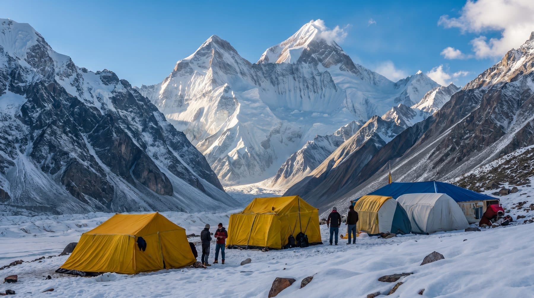 Everest Base Camp TrekThe world's most famous trail — Namche, Tengboche and Kala Patthar's Everest panorama, walked at a pace that gets people there.From US$ 1,850
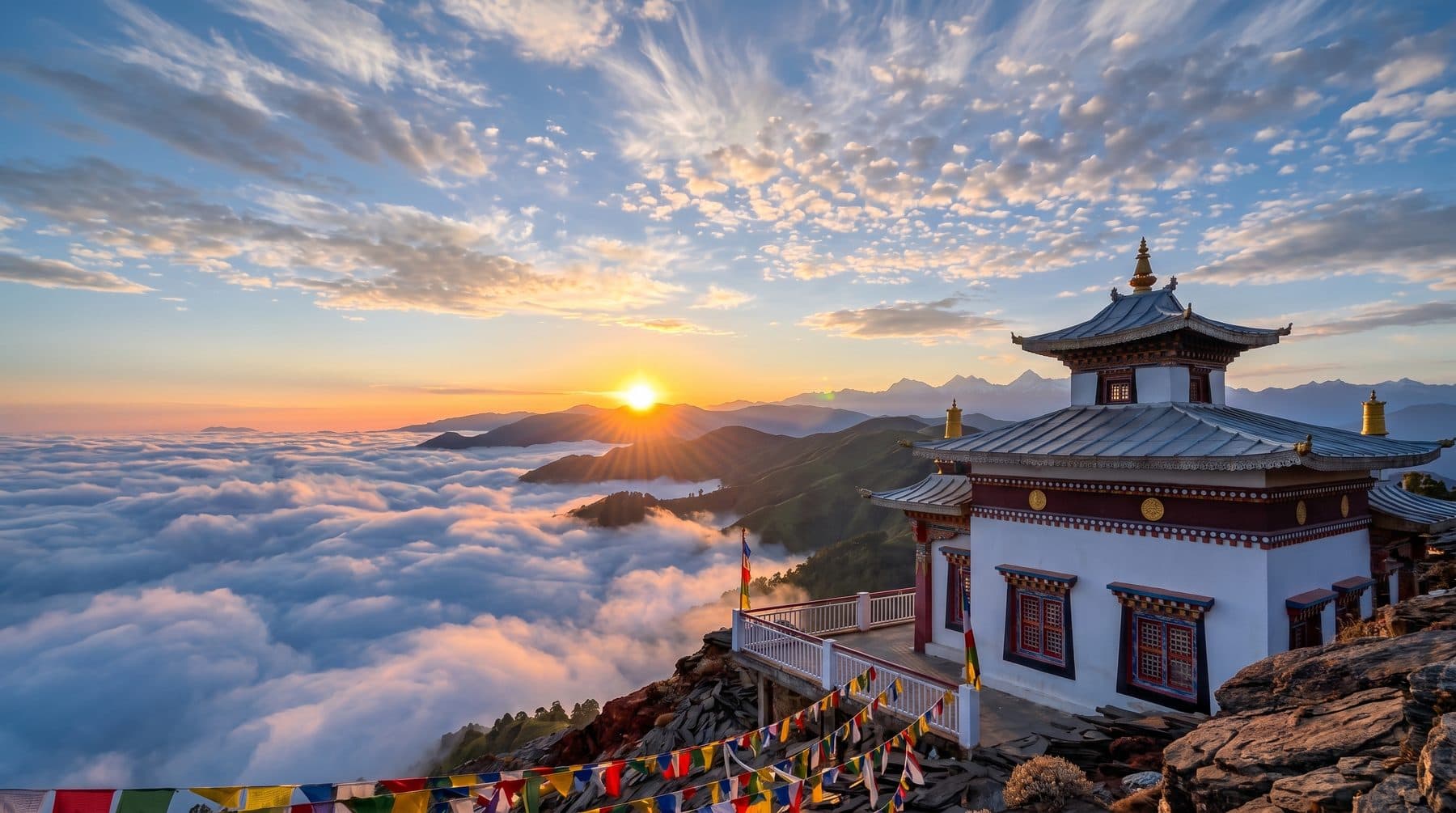 Annapurna Base Camp TrekInto the Annapurna Sanctuary — rhododendron forest, Gurung villages and a 4,130 m amphitheatre with 360 degrees of mountain around it.From US$ 2,850
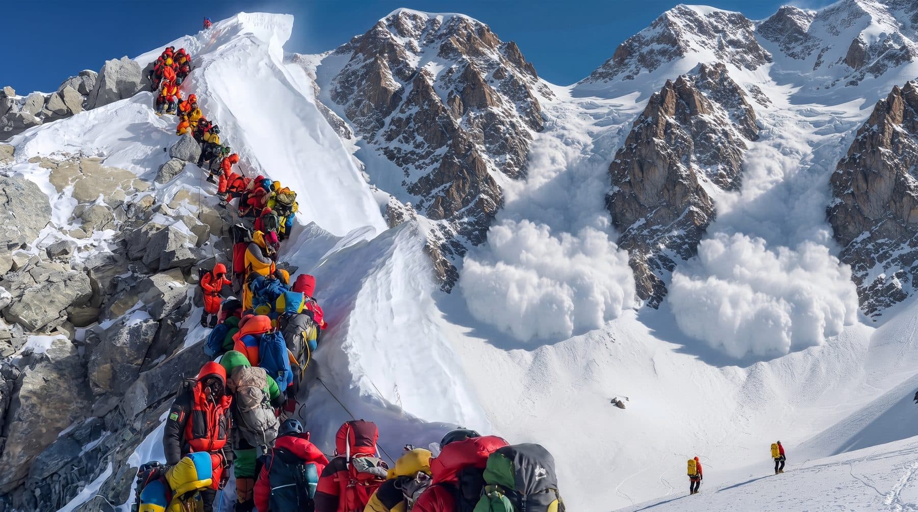 Island Peak with Everest Base CampThe Everest Base Camp trail and a 6,189 m summit in one trip — ropes, crampons, a skills day at Chhukung and full climbing support.From US$ 2,050
Enquire about this trip
Tell us who is travelling and roughly when. A trip planner — not a call centre — replies within three hours between 9am and 11pm Pakistan time with a day-by-day itinerary and the full price, per person, with nothing hidden underneath it.
- Every itinerary written from scratch around your dates.
- Licensed operator, running these routes since 2020.
- A full costing up front — no deposit to see one.
- +92 310 5344471
- info@elhamasia.com
- 9am – 11pm PKT, seven days a week
- Office No. 227, Rohtas Road, G-9/1, Islamabad, Pakistan


