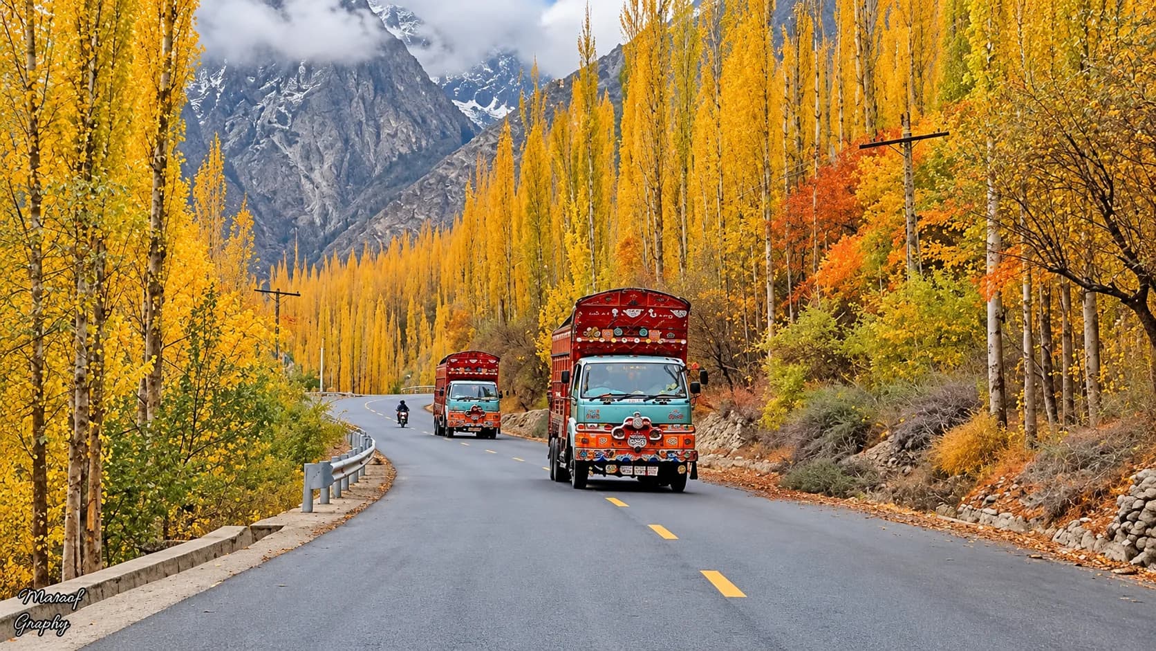
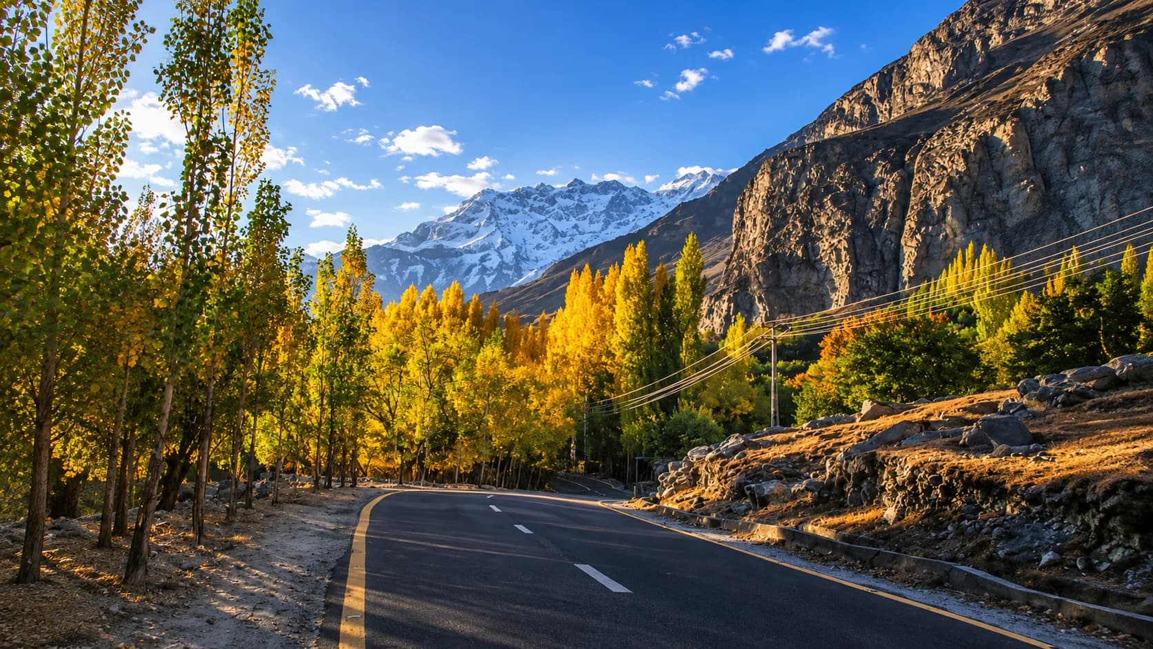
The Karakoram Highway (KKH), officially known as the N-35, is one of the highest paved roads on earth. Stretching from the plains of Punjab to the Khunjerab Pass at the Chinese border (4,693 meters), it is a marvel of high-altitude engineering and the definitive artery of northern Pakistan.
For travelers, it is the ultimate mountain road trip. But navigating the Karakoram Highway is not like driving a standard interstate. The terrain is unforgiving, the weather shifts rapidly, and understanding the logistics of the route is critical for a successful journey. Based on our daily fleet operations, here is exactly what you need to know about KKH road safety, drive times, and conditions for the upcoming season.
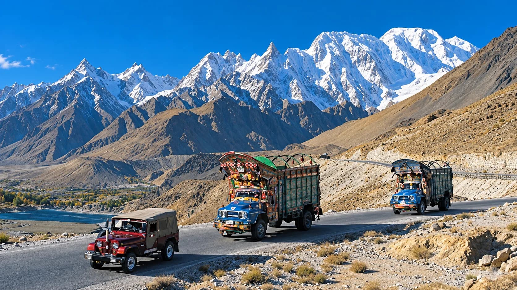
Quick Answer: Is the Karakoram Highway safe? Yes, the KKH is safe for tourists and heavily monitored by local authorities. However, it requires cautious driving due to steep drops, narrow sections, and seasonal rockfalls. The best time to drive the KKH is between April and October. For maximum safety, travelers should hire a licensed local driver experienced with mountain terrain rather than self-driving.
Current Road Conditions: N-35 vs. Babusar Pass
When driving from Islamabad to Gilgit-Baltistan, you generally have two route choices depending on the time of year. Knowing which road is open dictates your entire itinerary.
| Route Option | Open Season | Road Profile & Conditions |
|---|---|---|
| The Standard KKH (via Besham) | Year-round | This is the all-weather route following the Indus River. It sits at a lower altitude, making it the only option in winter. However, the section between Dasu and Chilas is notoriously bumpy and prone to delays due to ongoing dam construction. |
| The Babusar Pass Route (via Naran) | Late June to Late October | This route cuts over the Babusar Pass (4,173 meters) and connects back to the KKH near Chilas. It is significantly more scenic and shaves hours off the drive time, but is strictly closed during the winter due to heavy snowpack. |
Essential Drive Times and Distances
A common mistake travelers make is looking at the kilometer distance on a map and estimating highway speeds. On the KKH, 100 kilometers can take three hours. Our drivers operate on the following realistic timelines (assuming standard weather and minimal checkpoint delays):
- Islamabad to Naran: 6 to 7 hours
- Naran to Gilgit (via Babusar): 7 to 8 hours
- Islamabad to Chilas (via Besham): 10 to 12 hours
- Gilgit to Karimabad (Hunza): 2 to 2.5 hours
- Karimabad to Khunjerab Pass (China Border): 4 to 5 hours
Because the journey from Islamabad to the deep north is grueling, we never recommend driving it in a single day. All of our guided overland trips, including our comprehensive Northern Pakistan Grand Tour, break the journey overnight in Chilas or Naran to prevent driver fatigue.
Navigating the KKH: 3 Rules from Our Drivers
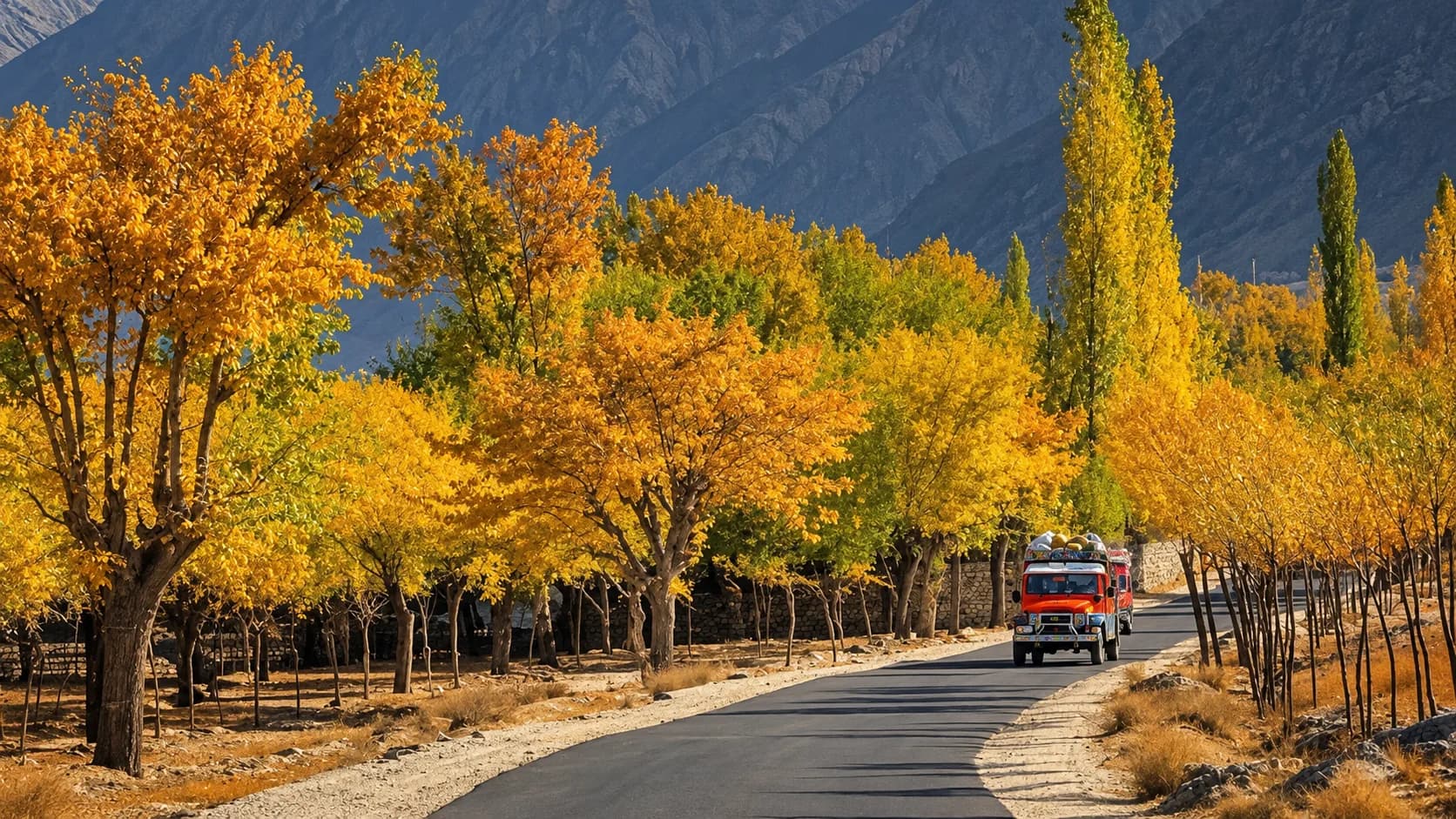
Our operations team monitors road conditions through the National Highway Authority (NHA) and local police dispatches daily. If you are planning a trip, abide by these three operational rules:
1. Never Drive at Night
We ground our entire fleet after sunset on the mountainous sections of the KKH. Rockfalls are harder to spot, heavy transport trucks dominate the road, and steep drop-offs lack guardrails in certain stretches. Always plan to reach your hotel before dusk.
2. Respect the Weather Windows
During the summer monsoon season (July and August), heavy rains can trigger landslides, particularly around the Dasu and Chilas corridors. If a road is blocked, do not attempt to bypass official cordons. The Frontier Works Organisation (FWO) is exceptionally fast at clearing debris with heavy machinery, but patience is mandatory. If you want to experience the full majesty of the Karakoram without worrying about weather windows or roadblocks, joining a fully supported expedition like the Northern Pakistan Grand Tour is the safest way to travel.
3. Hire a Local Expert
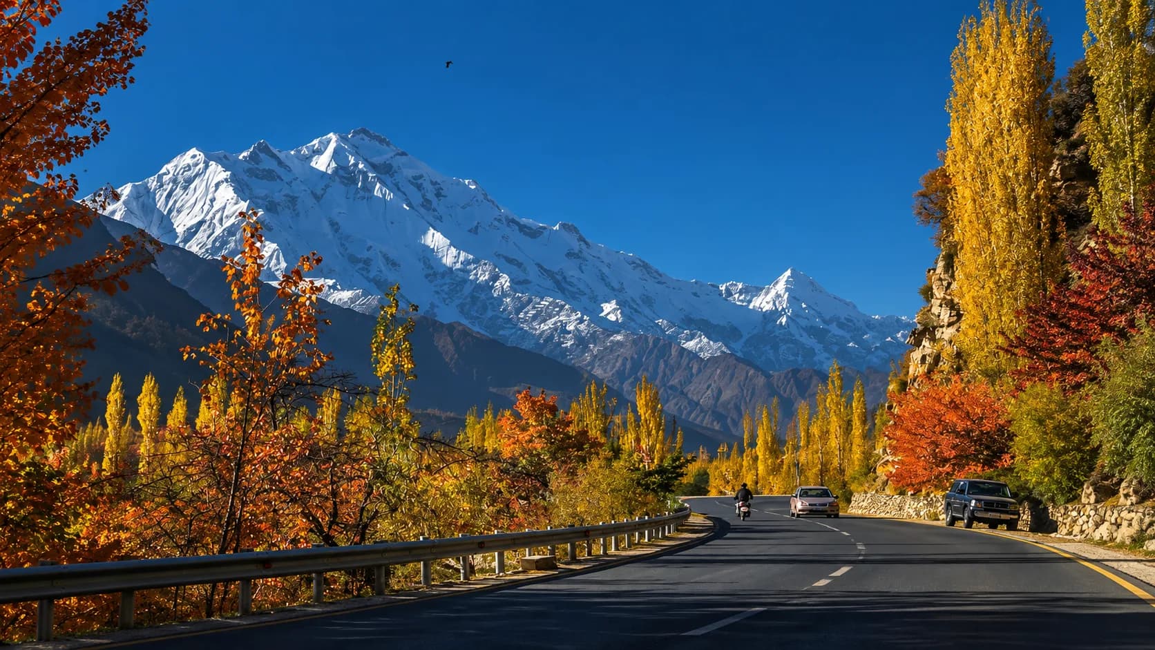
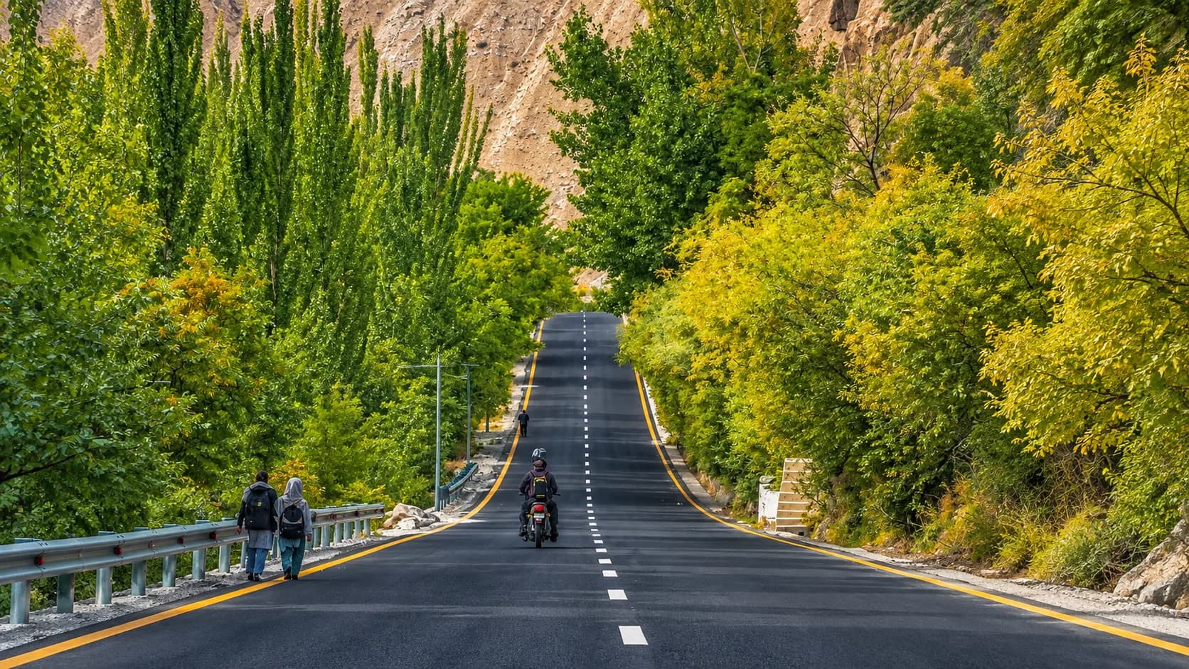
While self-driving the KKH has become a popular trend for extreme adventurers, we strongly advise against it for standard holidays. Local drivers understand the unwritten rules of the road—how to communicate with oncoming trucks using headlights, which blind corners require honking, and how to preserve brake pads on massive descents.
View the Northern Pakistan Grand Tour 2027
Frequently Asked Questions
Is it safe for foreigners to travel the Karakoram Highway? Yes. The region relies heavily on tourism, and local hospitality is legendary. Foreigners must pass through standard police checkpoints along the route, which are there to log travel movements and ensure visitor safety.
Do I need a 4x4 vehicle for the KKH? No. The main Karakoram Highway is paved all the way to the Chinese border. Standard sedans and comfortable coasters can easily navigate the primary route. You only need a 4x4 if you plan to venture off the KKH into rugged side valleys, such as Fairy Meadows or the Deosai Plateau.

Will my phone work on the highway? Standard international roaming and regular Pakistani SIM cards (like Jazz or Zong) will lose service frequently between Besham and Gilgit. In Gilgit-Baltistan, the local SCOM network is required for reliable 4G data coverage.
What happens if a landslide blocks the road? Minor landslides are common after heavy rain and are usually cleared by military engineers within a few hours. In the event of a major blockage, travelers must wait in designated safe towns until the road is declared open. Having a flexible schedule and an experienced guide—which is a core feature of our Northern Pakistan Grand Tour—is essential for managing these delays stress-free.